How we work
We solve complex spatial problems by integrating satellite remote sensing, geospatial analytics, machine learning, and AI to deliver insights that bridge technical analysis and strategic decisions
How we work
We solve complex spatial problems by integrating satellite remote sensing, geospatial analytics, machine learning, and AI to deliver insights that bridge technical analysis and strategic decisions
Earth Observation & Satellite Remote Sensing
We acquire, process, and analyse satellite imagery from multiple sensors to monitor environmental conditions across space and time. This capability is core to tracking water quality, vegetation dynamics, land use changes, and ecosystem health at scale.
Methods Inlcude:
- Multi-sensor satellite data integration
- Spectral and temporal analysis
- Change detection algorithms
- Environmental parameter estimation

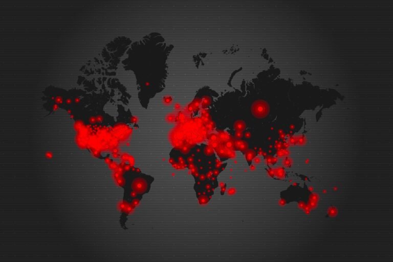
Geospatial Analytics & Mapping
We integrate multiple spatial data sets, from demographic information to infrastructure networks, to understand patterns, assess risks, and support location-based decisions. This work combines geographic analysis with quantitative methods to reveal where conditions, vulnerabilities, and opportunities concentrate.
Methods Inlcude:
- Multi-source spatial data integration
- Risk and vulnerability mapping
- Scenario planning and comparison
- Geographic pattern analysis
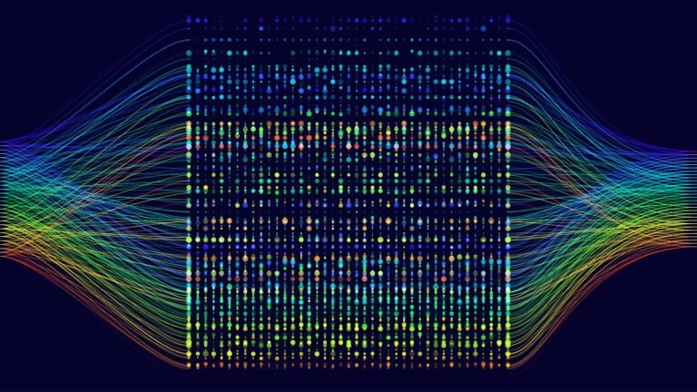
Machine Learning & AI
We apply statistical modelling, machine learning, and AI techniques to analyse complex data sets, detect patterns, and forecast future conditions. Our approach emphasises selecting appropriate methods for each problem based on data characteristics and analytical requirements.
Methods Inlcude:
- Predictive modelling and forecasting
- Deep learning for classification and pattern recognition
- Anomaly detection
- Time series analysis and trend detection
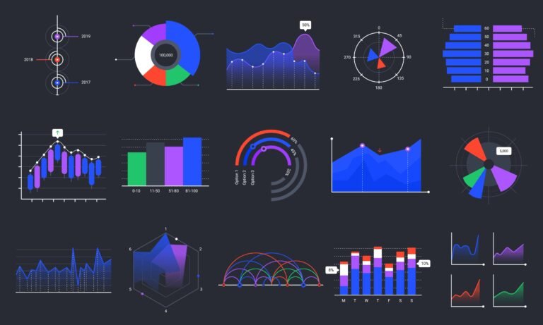
Data Integration & Visualisation
We transform complex analysis into formats that support decisions. This means integrating diverse datasets, creating clear visualisations, and presenting findings in ways that work for non-technical audiences through interactive maps, concise reports, and accessible recommendations.
Methods Inlcude:
- Multi-source data integration and validation
- Interactive mapping and spatial visualisation
- Charts, graphs, and dashboards
- Clear documentation and reporting
Our Approach

Discovery
We start by understanding your context, objectives, and constraints. What decisions need support? What data exists? What are the spatial and temporal requirements?

Analysis
We select and combine the right capabilities for your challenge, integrating satellite data, geospatial information, and relevant datasets using appropriate analytical methods.

Delivery
We translate complex analysis into accessible formats like interactive maps, clear visualisations, and actionable recommendations that work for decision-makers.
Discovery
We start by understanding your context, objectives, and constraints. What decisions need support? What data exists? What are the spatial and temporal requirements?
Analysis
We select and combine the right capabilities for your challenge, integrating satellite data, geospatial information, and relevant datasets using appropriate analytical methods.
Delivery
We translate complex analysis into accessible formats like interactive maps, clear visualisations, and actionable recommendations that work for decision-makers.
Contact us today
Ready to discuss how our capabilities apply to your challenge? Our team is here to explore how we can support your specific needs. Just fill out the form and we’ll get back to you as soon as possible.